valley and mountains.terrain (446.4 KB)
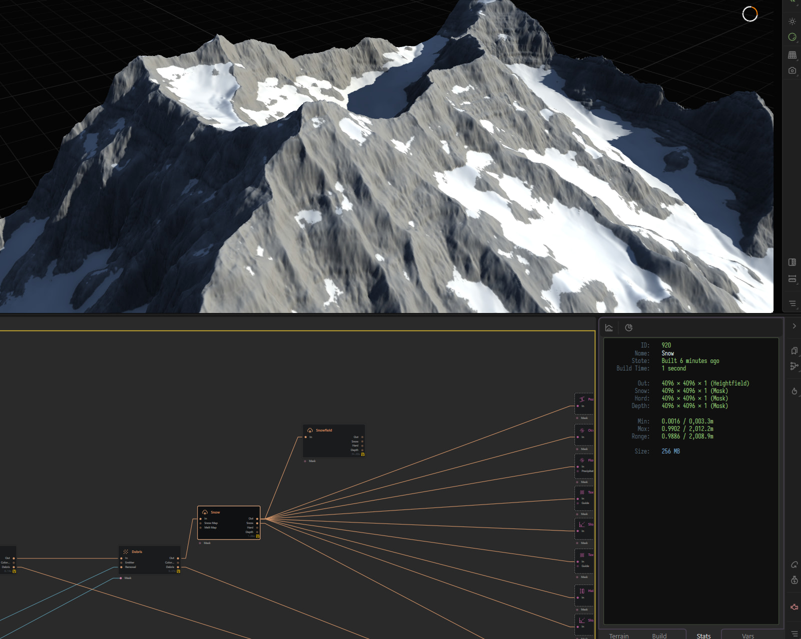
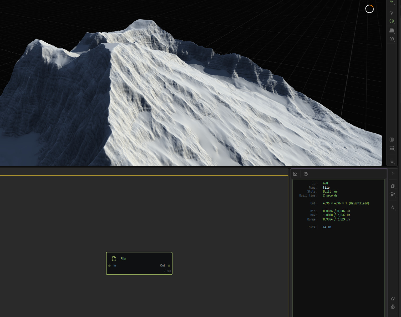
@mr_fish What height did you have the terrain set to in the settings? (in the menu where you can decide how wide you want the terrain to be in meters)
2032
You set the max bounds in the terrain definition, you will see a terrain is outside of those bounds prior to export otherwise.
The height limit in the terrain Def is 10,000m.
yeah I set it to 2032m but the max height is below that on the node that I’m exporting the height map from.
found out that on 1k preview it reaches the map maximum height but on 2k and 4k it’s below. Not sure why the height is so inaccurate on the higher resolution previews.
what are you exporting the heightmap as? a png, raw, or exr?
pngs use sRGB color space, which is non-linear. I don’t know how this Gaea interacts with this, but if you are using png as your export, this might be causing the issue.
try exporting heighmap in raw or exr
It’s important to note that PNG is not inherently sRGB or non-linear. A PNG can contain linear height data, but applications may interpret it as sRGB unless configured otherwise.
Think of it as a configurable container. Where the interpreter sits next in a chain, like a renderer.
This is often why game engines and render engines all have importers that have a lot of configurations not just to support the amount of file types they support but also what other ways that file type can be interpreted.
@TyXanders makes a great point, and in fact you can control the default colorspace Gaea uses for colorspace-bound formats
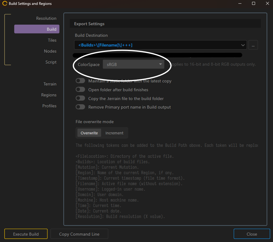
something like scRGB (which an the HDR supporting, linear variant of sRGB) would fix the color coding to a linear gradient so import errors can be mitigated.
However, I would personally stick to .raw or .exr for heightmaps, as they are not bound to colorspaces, pngs can sometimes hold redundant data, and .exr has better compression.
tried both png and tiff. Same issue. The problem was the 4k preview and the stats window were showing the wrong height. When I switched to 1k preview I saw it was clipping at the top so I lowered it slightly.
that’s wierd. it could possible be a bug in the Gaea renderer
what did you reduce the maximum height to
I can’t quite remember now but I think I had a height remapper set to 1.05 or something similar so I just deleted it. Now in the 4k preview the height is 1884 but in 1k it’s 1972.
For round-tripping within Gaea, GRAW is usually best for preserving height data as close to 1:1.
However, passes like Erosion may not be fully deterministic, so some variation can still occur.
I’m also curious whether any clamp, normalise, or remap operations were introduced. Certain maths operations can create outliers, infinities, or NaNs beyond the expected terrain range. Clamping can help at defined data boundaries, but applying it too early may flatten valid height information. ( I have not looked at your .terrain file)
Division, power, subtraction, or strong multipliers and custom expressions can do this. By default, combine clamps so outliers are essentially flattened at that point.
Gaea does a lot of clean-up assist for you, so it’s more accessible for artists that way.
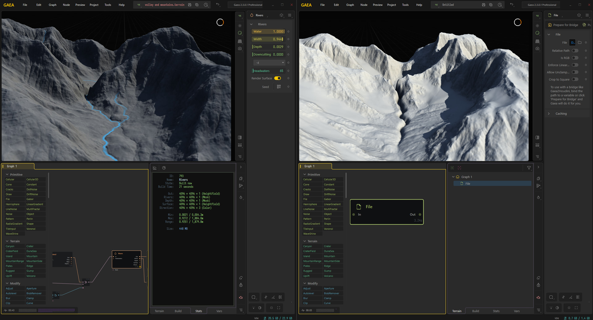
how can I fix the issue from the picture above of the river cutting a steep channel if I can’t see how gaea will actually export it? when I preview it, there is already a gap there that the river simply passes through but when it exports, it’s a solid wall so it cuts through it leaving an unnatural looking valley. I’ve sorted the height issue it’s just this now.
I did go through your terrain file in the end, and it looks like there are some cache/data issues I had in these sections:
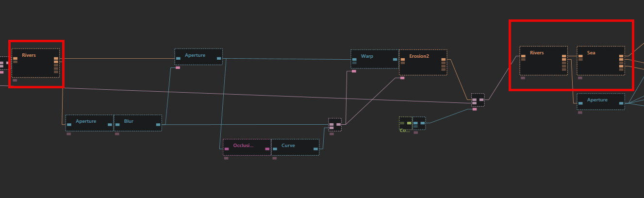
ERR Rivers 793 ( the last river)
These would error for me no matter what the first time, even if I replaced them, which could hint at something earlier in the graph compiling, but it’s not the right data.
You can check your data > logs as well to see if you have similar entries when saving / loading, or historical ones, whilst you’ve been working.
This would be where I’d start. This may explain why your build is different to your preview in a big way.
Since you have a large branching graph, you may also want to test different export points to help create a compare and narrow down the issues where no visual errors are present.
ok thanks. I’ll give that a try