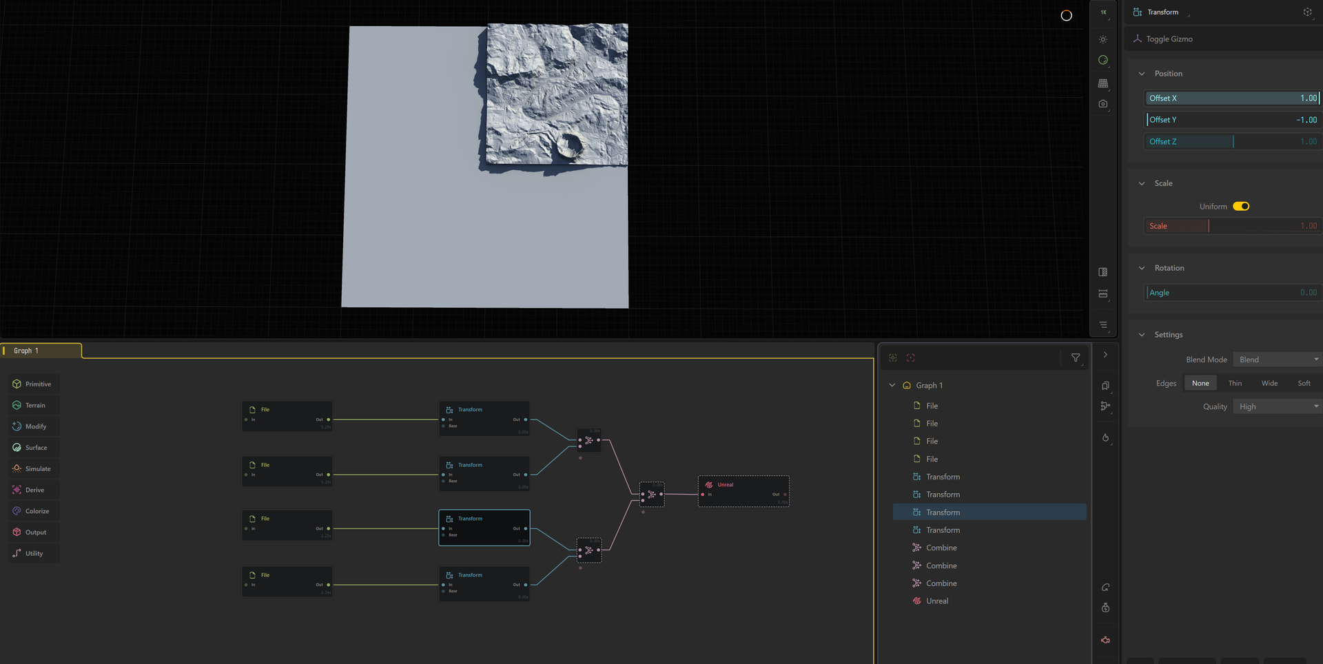
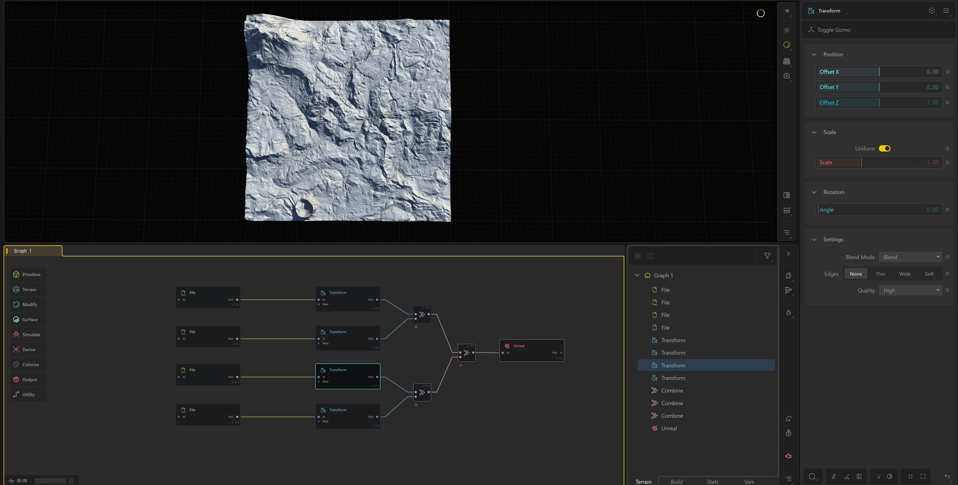
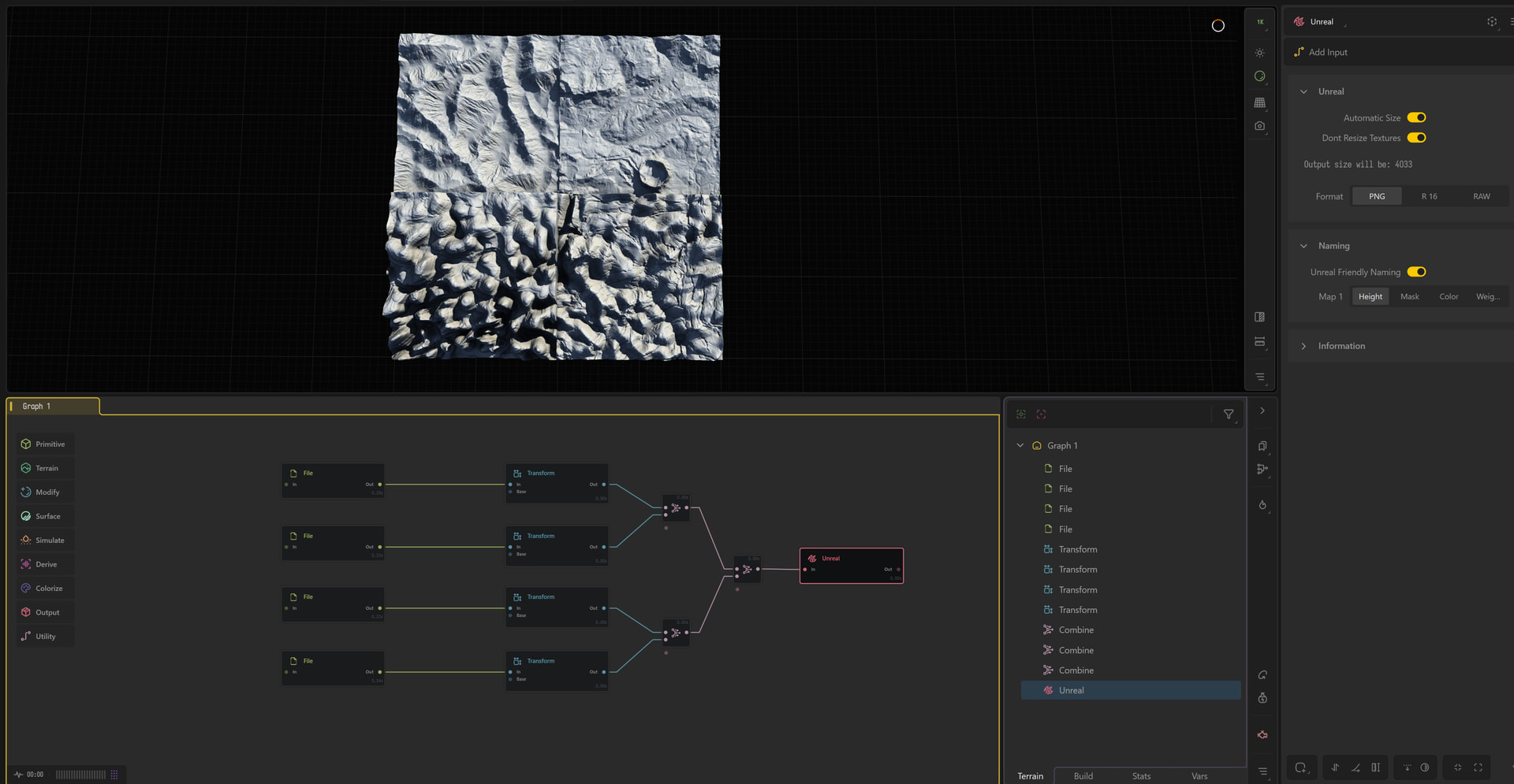
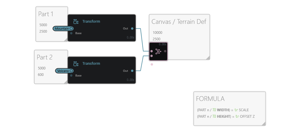
I imported the four heightmaps into a new Gaea project using File nodes, added Transform nodes, and tried to move each biome into its corresponding quadrant.
However, the Transform node only shifts the terrain within the existing canvas. When I increase the X/Y Offset (for example X = 1, Y = -1), the terrain is clipped instead of occupying only one quarter of the larger world.
My question is:
- What is the correct workflow in Gaea 2 Professional for assembling multiple completed biome heightmaps into a single larger terrain?
- Is there a node or workflow specifically intended to place each imported heightmap into a larger canvas without clipping?
- Or should this be done using a different feature, such as Regions, Tiled Builds, or another world-building workflow?
My goal is to create a seamless 20 × 20 km terrain from four independently developed 10 × 10 km biomes while preserving their original scale.
Below are screens from actual problem. Clipped by transform node terrain, unclipped version (you can see big mountain on the top left corner which is cut in one quarter position and full version with multiple clipped landscapes.
Also, the problem is I cannot make viewport plate larger to view more details. Changing size of the terrain or preview resolution to 4k doesn’t help, when working with huge maps.
Wondering: Do the 4 original 10X10 km terrains have some matching sides before importing them into Gaea ? In other words, is their combination already seamless before importing ?
No, they are still not seamless (there is a huge amount of experiments and studying to achieve this in the next steps). For nwo on the problem is that transform node which cuts the landscape even before other 3 parts come into the gaea viewport.
How are the four 10x10 km named ?
What is the heightmap format used in your experiment ?
Generated in gaea 4k resolution 10x10 km PNG heightmap. In new gaea project uploaded via file node and wired to transform node. When changing X Y axis to move that heightmap into its place it cuts part of generated landscape. My discord is: holideus#3339 I can show you visually the problem there.
If you use a file node and keep “scale” to 1 in transform node settings, the imported file will use all the terrain surface => it will necessarily be clipped if you move it along X and/or Y.
Try with transform node scale parameter at 0.5
Also, you could name your heightmaps Terrain_Out_y0_x0 , Terrain_Out_y0_x1, Terrain_Out_y1_x0 and Terrain_Out_y1_x1
( or any word instead of Terrain) and use a “Tile input” node to import the 4 heightmaps at once.
But, in both cases… The result won’t be seamless and how to achieve this … ?? Maybe using the “seamless” node with File node worklow, but not sure: Not explored on my side.
This has been roughly outlined between Dax and me here
The cleanest method is to intentionally build your elements at the scale you want and then apply them to the correct final-scale project with all your blending of them together.
This is one goal of god mode and glue, but you can still build a static method this way as well, it’s the static part that is the long part when it comes to iterations and file handling for teams.
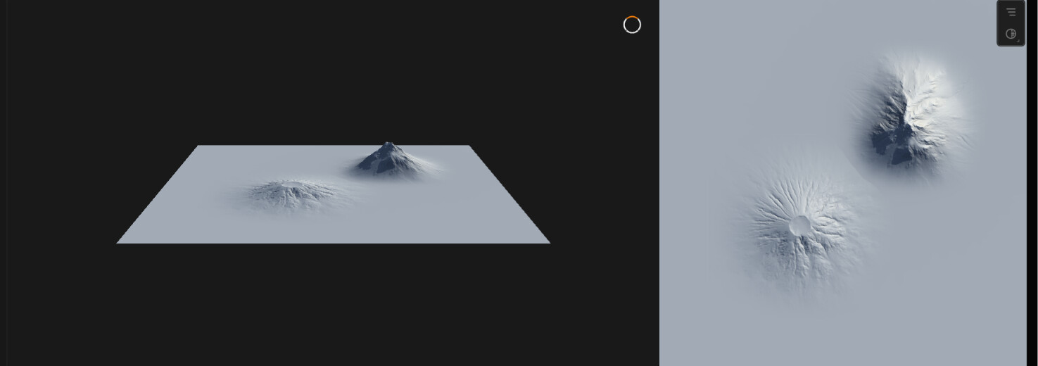
In this example there are two parts at different Terrain Definitions scaled correctly using /transform on a final larger Terrain Definitioned “canvas”.